

Satellite and Space News
Global Developments


BREAKING NEWS

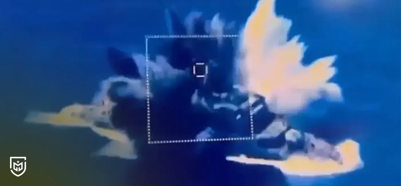
The Turkish Ministry of National Defense recently released a video featuring the Turkish Stars aerobatic team, offering a striking demonstration of Türkiye’s growing satellite surveillance power. The aircraft, flying at 100 meters altitude and 740 km/h, were tracked and imaged in real-time by the Göktürk-1 satellite from its 686-kilometer orbit. Capturing such precise imagery from space requires extraordinary coordination between orbital sensors, tracking algorithms, and ground control systems—marking a milestone in Türkiye’s indigenous satellite intelligence capability. Few nations possess the ability to independently collect such high-quality imagery and generate actionable intelligence from orbit.
In modern military operations, space-based intelligence has become indispensable. As seen in recent global conflicts, satellites enable continuous monitoring of adversary deployments—air defense systems, airbases, and strategic facilities—without entering hostile airspace or risking assets. For Türkiye, the ability to observe such activities from orbit provides a significant strategic edge. By relying on its own satellites rather than foreign sources, Ankara ensures operational security and independence in intelligence gathering and targeting.
The Göktürk-1 satellite can image any point on Earth roughly every 2.5 days, offering sub-meter resolution imagery. This capability allows for detailed tracking of changes across millions of square meters with exceptional precision. Beyond reconnaissance, such imagery is essential for guiding Türkiye’s precision strike weapons. As previously stated by Turkish Air Force officials, integrating satellite imagery into the guidance systems of indigenous munitions—such as the SOM cruise missile—enables “meter-level accuracy from long distances,” dramatically improving strike effectiveness.
Türkiye’s investment in space intelligence continues to expand. The establishment of the Reconnaissance Satellite Command, the modernization of ground control infrastructure, and the development of next-generation assets like Göktürk-3—equipped with Synthetic Aperture Radar (SAR)—underscore this progress. The SAR capability will allow Türkiye to obtain sub-meter imagery day or night, through cloud cover and adverse weather, significantly strengthening strategic surveillance. Together, these advancements represent a maturing doctrine of “see from space, decide fast, strike precisely,” reinforcing Türkiye’s deterrence and autonomy in the modern battlespace.
The cookies used on our website are used to provide you with a better user experience and to improve our website. You can manage your cookie preferences from the options below.
 Rabia Kılıç
Post Comment
Comments
No comments yet.
Related News
Defense Minister: S-400 Talks Key to F-35 Return
Bayraktar TB3 Deliveries to Italy Set for Year-End
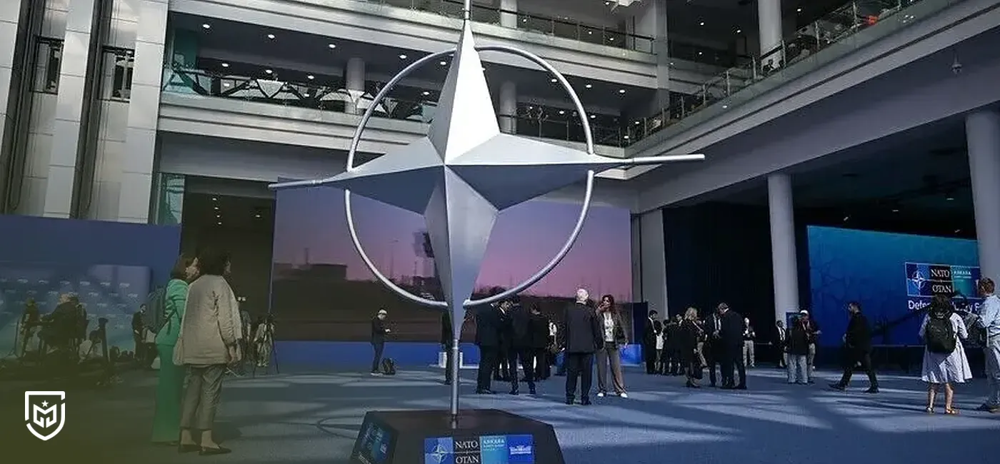
NATO Procurement Guide Opens Doors for Turkish Defense Companies
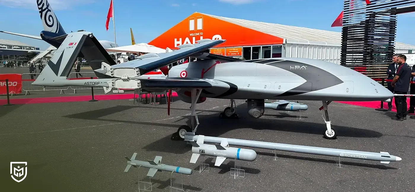
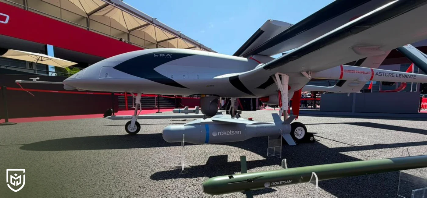
Bayraktar TB3 enters European market as Astore Levante
Japan's RV-X reusable rocket completes first test flight
Turkey's indigenous atomic clock undergoing space testing
HAVELSAN's 4 Software Capabilities Pass NATO Certification Tests
Canada expands armored vehicle fleet with 1.4 billion dollar contract