

Guided Munitions and Missiles


BREAKING NEWS

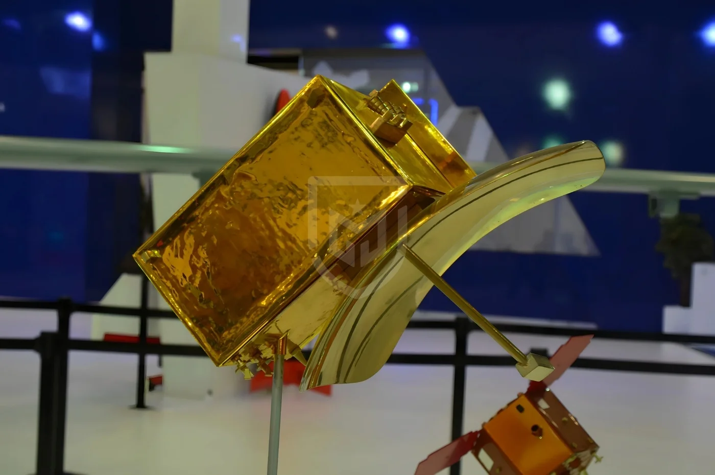
GÖKTÜRK-1 is a strategic Earth observation satellite designed to provide Türkiye with independent, high-resolution space-based imaging capability. Its primary mission is to support military intelligence, surveillance, and reconnaissance (ISR) operations, while also serving a wide range of civilian applications such as cartography, urban planning, agriculture monitoring, environmental observation, and disaster management.
Operational Role and Doctrine
Within military doctrine, GÖKTÜRK-1 operates at the strategic and operational ISR level. The satellite enables continuous monitoring of fixed installations, critical infrastructure, force deployments, and terrain changes. Its Sun-synchronous orbit ensures consistent illumination conditions, allowing reliable time-series analysis and change detection.
System Architecture
GÖKTÜRK-1 consists of an integrated system architecture including the satellite platform, electro-optical payload, ground control segment, and image processing infrastructure. The satellite bus incorporates a high-precision attitude and orbit control system, secure command-and-control links, and onboard data storage optimized for high-resolution imagery.
Survivability and Operational Continuity
The satellite is designed with space-grade radiation protection, redundant subsystems, and a secure mission control architecture. While no active defensive counter-space measures are publicly disclosed, system redundancy and orbital stability ensure sustained mission availability.
Accuracy, Coverage, and Responsiveness
Operating at an altitude of approximately 681 km in a Sun-synchronous orbit, GÖKTÜRK-1 can revisit the same area roughly every 2.5 days. Multiple imaging modes allow both wide-area surveillance and high-detail point observation, depending on mission requirements.
Integration and Ecosystem
GÖKTÜRK-1 is fully integrated with Türkiye’s national military and civilian ground segments. Collected imagery is processed, archived, and distributed through secure national systems, forming a foundation for subsequent indigenous satellite programs.
Variants and Operational Use
The satellite was deployed in a single primary configuration. GÖKTÜRK-1 has been actively used by Turkish military and civilian authorities; detailed operational performance data remain classified.
Detailed Technical Information
Mass and Dimensions
Orbit and Mission Profile
Performance
Sensors and Payload
Command, Control, and Data Handling
Logistics and Operations
Frequently Asked Questions
What is GÖKTÜRK-1 used for?
What is its imaging resolution?
What types of targets can it observe?
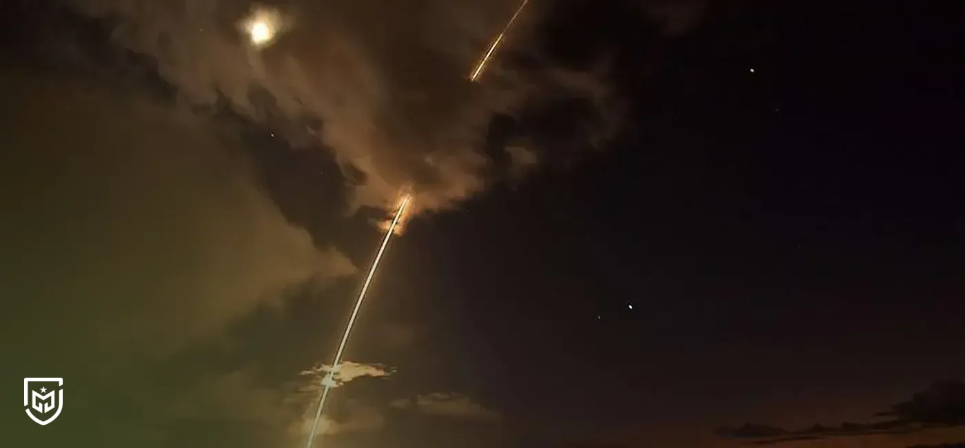
Can GÖKTÜRK-1 operate at night?
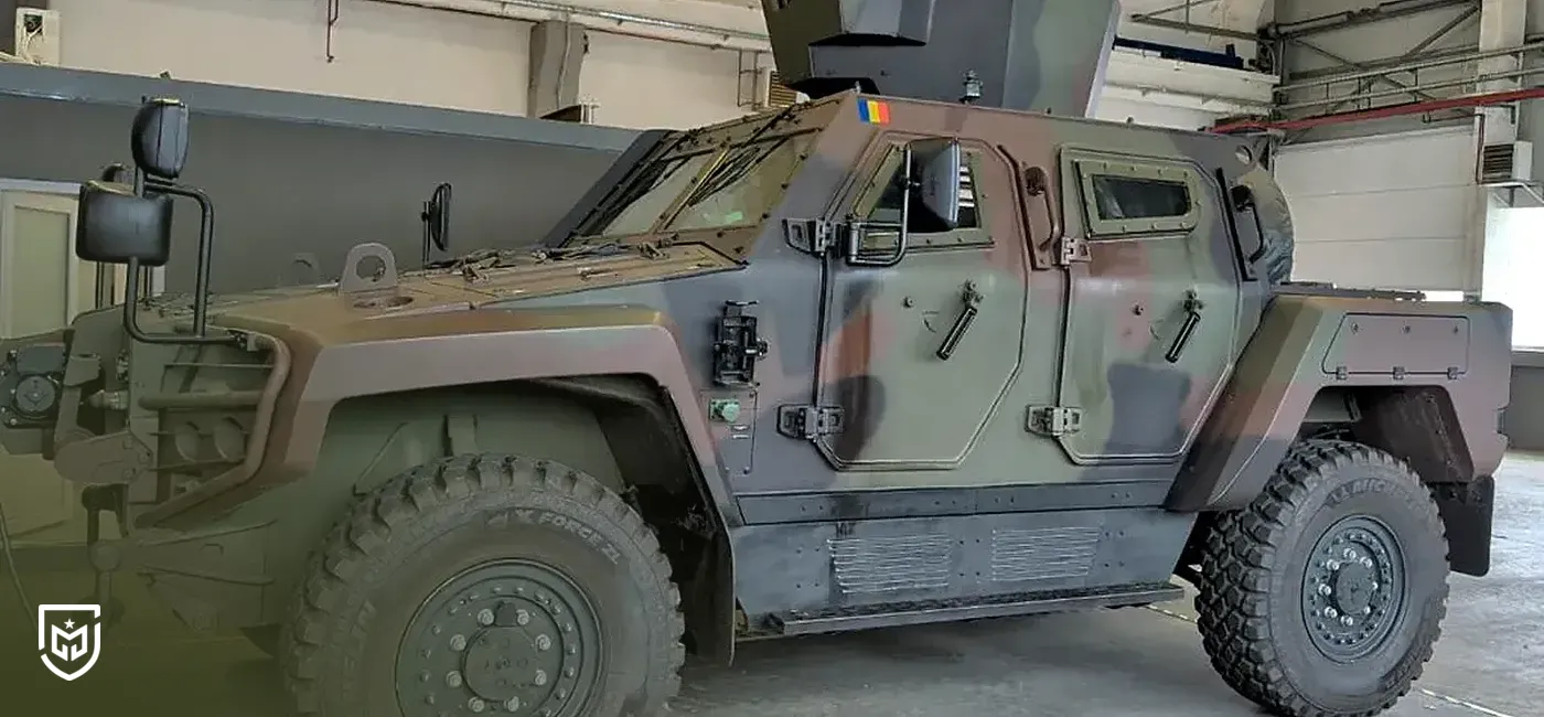
Is the system mobile or fixed?
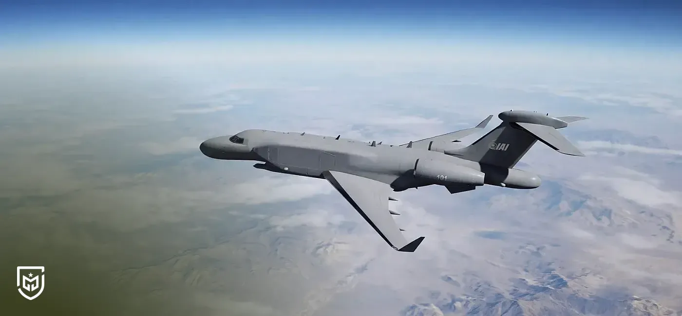
What are comparable systems?
Sources


The cookies used on our website are used to provide you with a better user experience and to improve our website. You can manage your cookie preferences from the options below.